Day 4 Count down to the launch of Suburban Secrets, Saturday 31st July.
HOW OLD IS MY HOUSE? And what did it look like? Commonly asked questions if you live in an old suburb. Post Office Directories, Landgate Map Viewer Plus and Retro Maps have been invaluable resources for this project, and for discovering the age and changes over time of my own house (someone is going to ask – 1927).
The complete set of Western Australian Post Office Directories published between 1893 – 1949 are available online at the State Library of WA. You can discover who was the first person to live in your house, and possibly their occupation. Landgate Map Viewer Plus, shows aerial imagery captured from 1951 through to the present day. Zoom in and out to see what your suburb, street and your backyard looked like over the years.
  Retro Maps, online at the State Records Office of WA allows you to see historical survey plans of Perth properties from up to 100 years ago. The maps show Inglewood around the 1930s. And a warning -These resources are addictive!
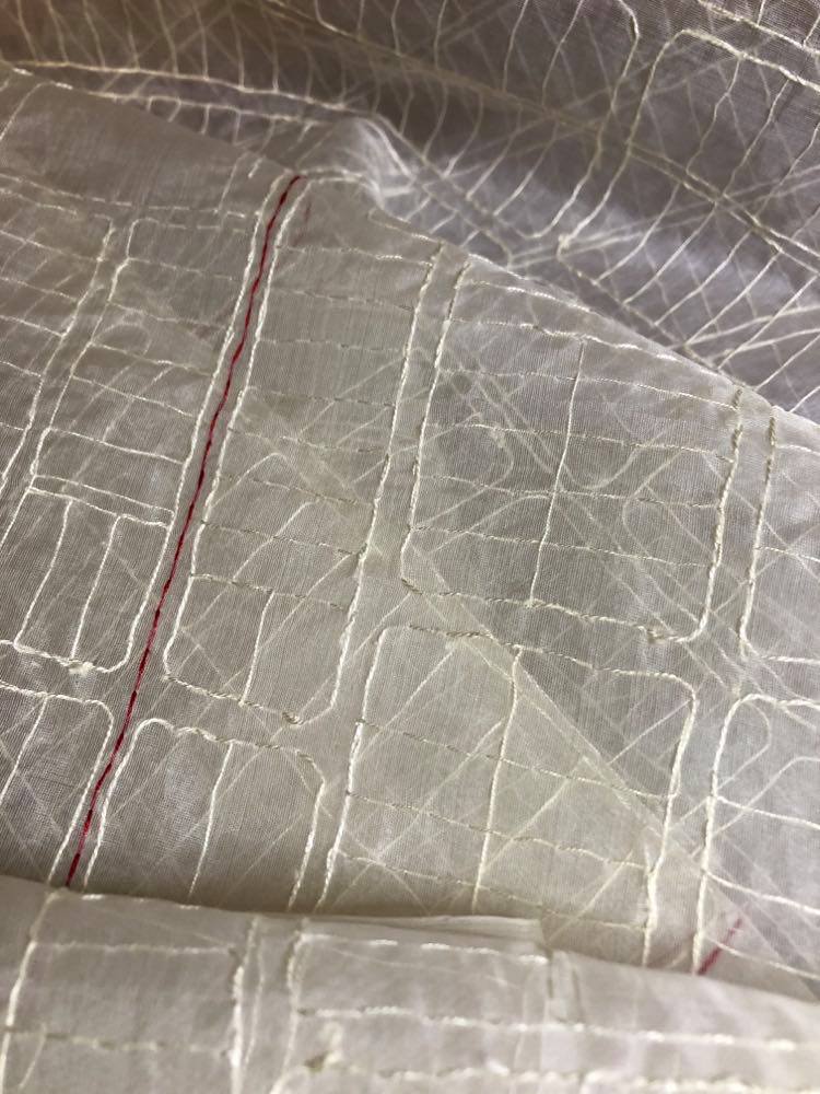
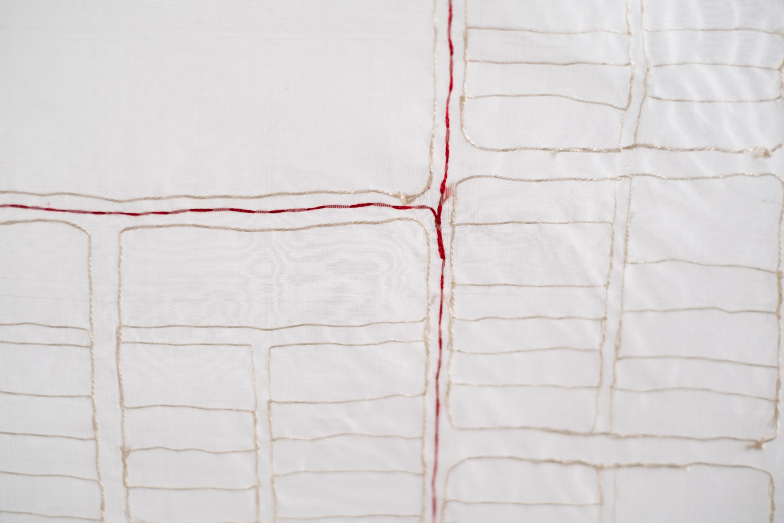
Survey Circa 1935 (detail), slowly hand stitched on silk organza outlines the street, subdivisions, and blocks of Inglewood, including the amount of land the golf course takes and the small parcel of remaining natural bush that is Inglewood Triangle.