 Count down to Suburban Secrets launch -Day 2 INGLEWOOD TRIANGLE (bounded by Hamer Pde, Walter Rd & 8th Ave). How did this 1.7 hectare near city example of a Banksia Woodland escape the bulldozer? Much of the area was swampy, which may explain why it wasn’t developed in 1930s.
 It was probably grazed by cows from near by Quinn’s Dairy (258 Eighth Ave) which operated 1916-1945. The 1960s construction of Walter Rd to intersect with Hamer Pde left its shape and size with no particular purpose. Fortunately it was not cleared and was listed for conservation in 1992 in the City of Stirling Green Plan. It is now managed and maintained by Friends of Inglewood Triangle. When researching ideas for Suburban Secrets, I questioned what the land would have looked like to the traditional owners, the Wadjak people of the Noongar Nation. This one small parcel of land, Inglewood Triangle is the closest reference available to the original flora.
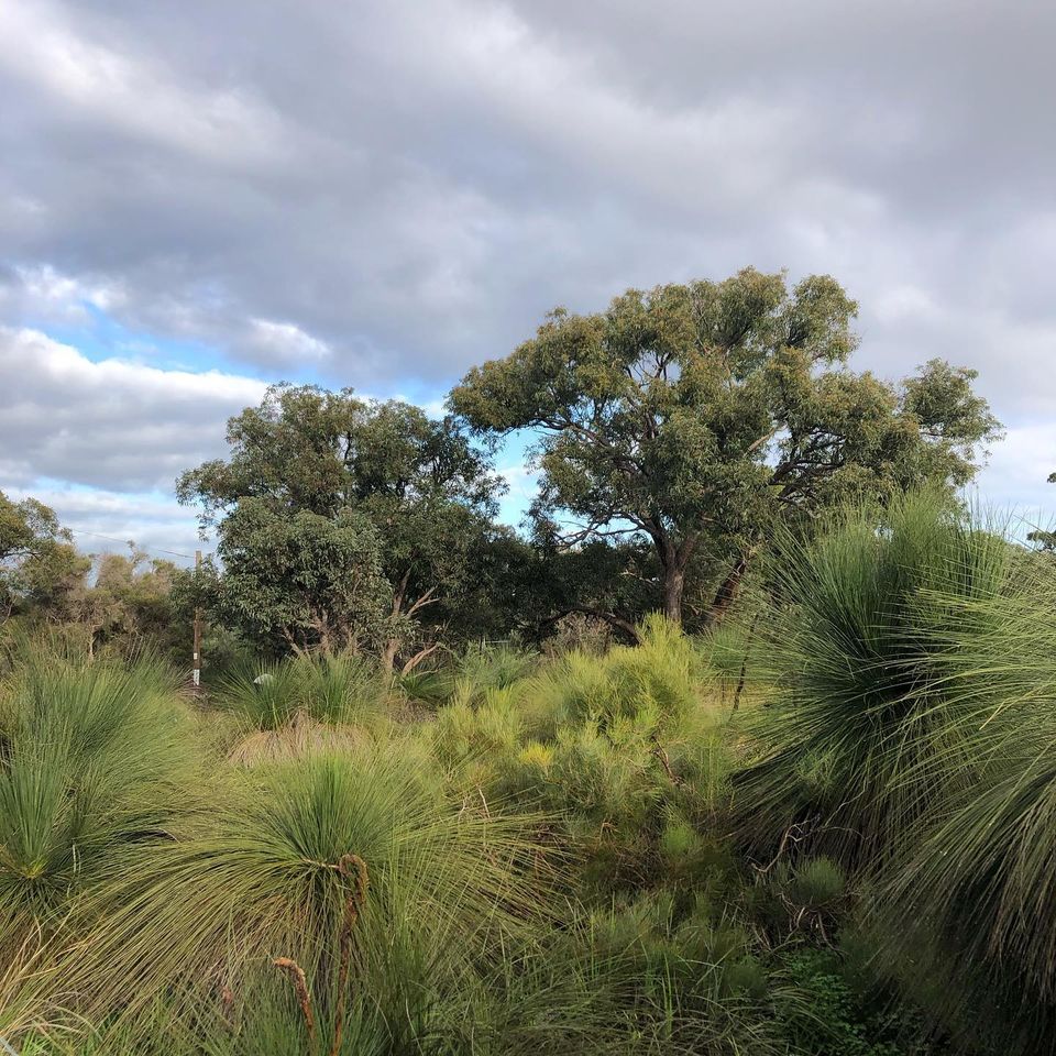 ‘Ribbon Grants – Original Land’ (detail image) aims to show what the land would have looked like prior to cultivation or improvement. Hand stitched markings giving an allusion to the original flora throughout the seasons viewed from an overhead canopy.
July 29, 2021
Inglewood Triangle
CategoriesExhibitions


